“Maps found nowhere else on earth”
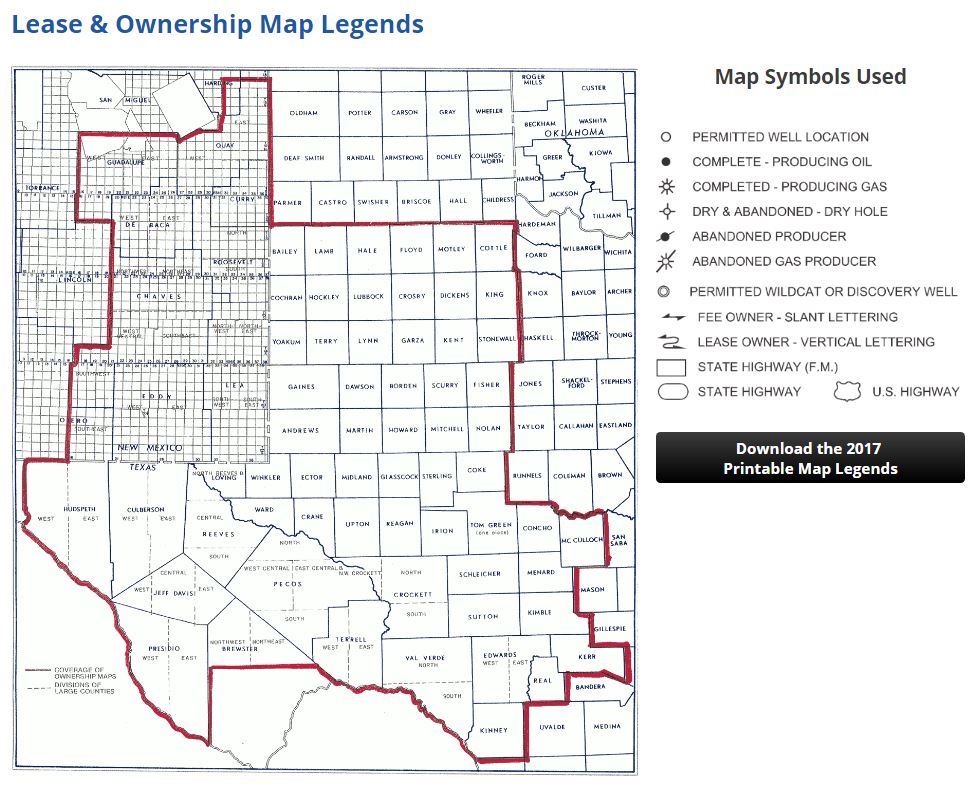
Drillinginfo (DI) has acquired the Midland Map Company, and its current and historical intelligence on Lease and Ownership, Producing Zones, Wildcat Maps, Base Maps, and various “other maps found nowhere else on earth,” Drillinginfo said in a press release.

Midland Map Company uses skilled draftsmen and printing personnel to create world-class, hand-drafted and printed maps of 70 Permian Basin counties. It’s been doing this meticulous work in the Permian since 1950.
“In their most basic form, maps provide everyone, from wildcatters to landmen to petroleum engineers, with scale and clear direction,” Drillinginfo said.
By combining the two companies’ expertise – Midland Map’s 69 years of maps and Drillinginfo’s state of the art SaaS analytics platforms – Drillinginfo figures to make decades of research instantly accessible to the industry in web and mobile applications.
Drillinginfo CEO Jeff Hughes called Midland Map “an institution in the oil patch sitting in the heart of Midland. … By joining forces, we’ll build on their success and continue to shape the industry’s future.”
As a part of its integration, Drillinginfo said it will import seven decades worth of lease and ownership maps into its platform, making the legacy maps available as layers in the DI Web App, enabling users the ability to rapidly recreate the ownership landscape for a specific year.
Drillinginfo is a portfolio company of Genstar Capital.


